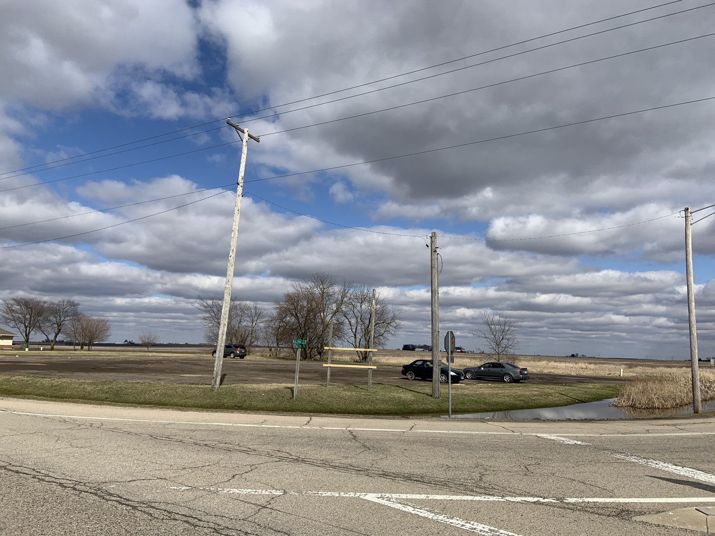
NE Corner Rte 251 & 18 Highway, Lostant, IL 61334
NE Corner Rte 251 & 18 Highway, Lostant, IL
- $200,000
Description
High passenger vehicle and tractor-trailer truck traffic with 2 road frontage sides strategically located off of Interstate 39 Exit 52 Lostant. Corner parcel makes this property desirable for development.
- Listing Courtesy of: RE/MAX 1st Choice
Details
Updated on July 23, 2026 at 3:45 am-
Property ID MRD10674507
-
Price $200,000
-
Land Area 2.42 Acres
-
Property Type Land
-
Property Status Active
-
Parcel Number 3025313000
-
MLS Status Active
-
Days On Market 2316
-
Living Area 2.42
-
Cumulative Days On Market 2285
-
Tax Annual Amount 1955
-
Cooling None
-
Heating None
-
Directions Interstate 39 or Route 251 South to the NE Corner of Illinois Route 251 & Route 18
-
Zoning COMMR
Address
Open on Google Maps- Address NE Corner Rte 251 & 18 Highway
- City Lostant
- State/county IL
- Zip/Postal Code 61334
- Country United States
Overview
Property ID: MRD10674507
- Land
Mortgage Calculator
Monthly
- Down Payment
- Loan Amount
- Monthly Mortgage Payment
- Property Tax
- Home Insurance
- PMI
- Monthly HOA Fees
